2007-9
Truthing Gap is the title of a body of research that I undertook while Leverhulme Artist in Residence at The National Oceanography Centre, Southampton. The title is a phrase used by physical geographers to refer to the ‘gap’ that exists between information gathered via remote sampling and in situ analysis.
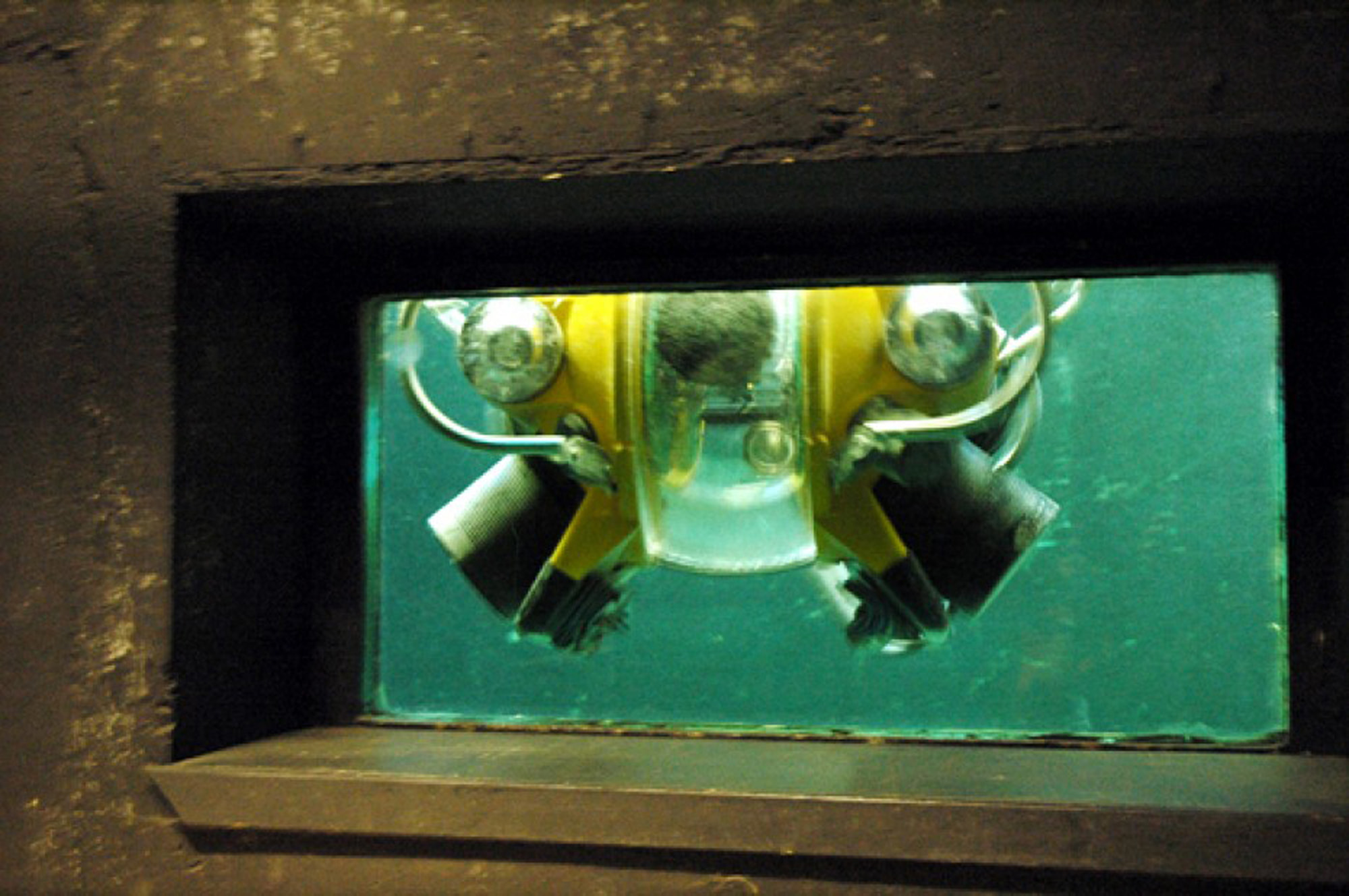
While at NOCS I worked with data modelling programmes, visited parts of the facilities – such a as the core store and went on a scientific survey cruise aboard the RRS James Cooke. I also undertook a number of interventions – see Truthing Gap gap works in order to raise question about the extent to which the methods sued to map the unseen space of the deep sea influence the understanding of it that is arrived at
This page features excerpts from the blog I wrote while working there and documentation of the different process that I explored.
Gave my introductory talk today. Despite my anxieties that my audience might feel sceptical about by the speculative nature of of my research it seemed to go well. A number of points were raised, prompting discussion about different mapping conventions and the impact of these upon popular perceptions of different areas of land mass – Africa appearing much smaller than it is and Russia much bigger – the later being a significant factor in levels of American cold war paranoia, apparently.
At one point I mention my interest in the possibility of creating a globe, which inverts height and depth. Clive Boulter a structural geologist responded by saying that he frequently uses pseudoscopic techniques or reverse relief as a way of viewing terrestrial features. As he discusses the possibility with Tim of using a similar approach to model undersea environments I feel that I have perhaps in some small way facillitated a conversation that might not otherwise have happened.
Perhaps the most striking discussion was had later on the bus to the station. Bramley t Murton was talking about the way in which at depth buoyancy counteracts gravity and how, seeing a small jelly fish swimming along at 30,000 metres below sea level, its tentacles splayed out to the sides, he had been prompted to reflect on the extent to which while in terrestrial environments the fact that everything finally falls to the ground exerts a primary influence, in undersea environments it has a limited currency.
I am still pondering the implications of this conversation, immediately it made me think of the extent to which the notion of a return to earth fundamentally unpins our myths and beliefs and how profoundly the idea of being buoyant represents to the ways in which we understand who we are.
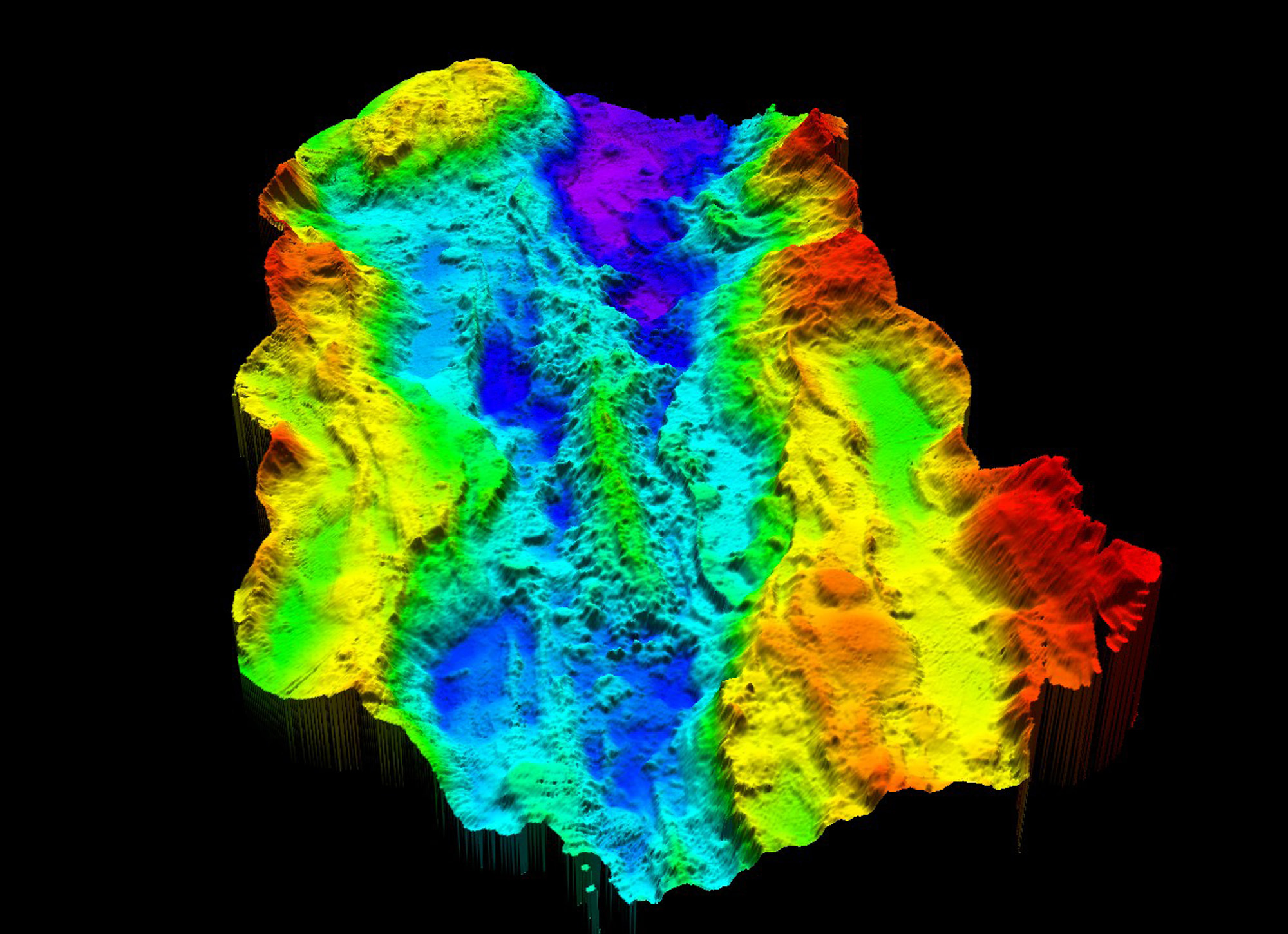
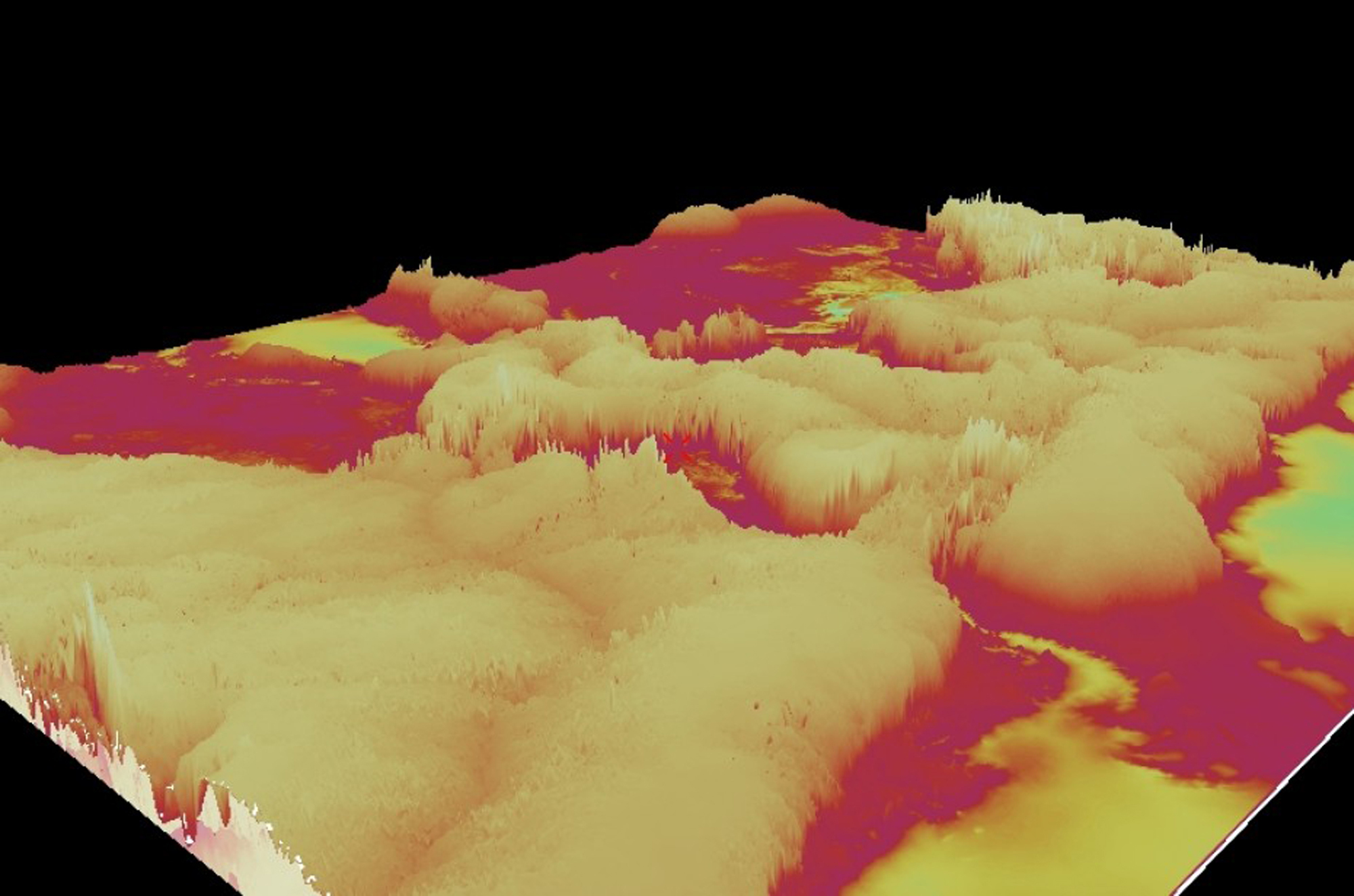
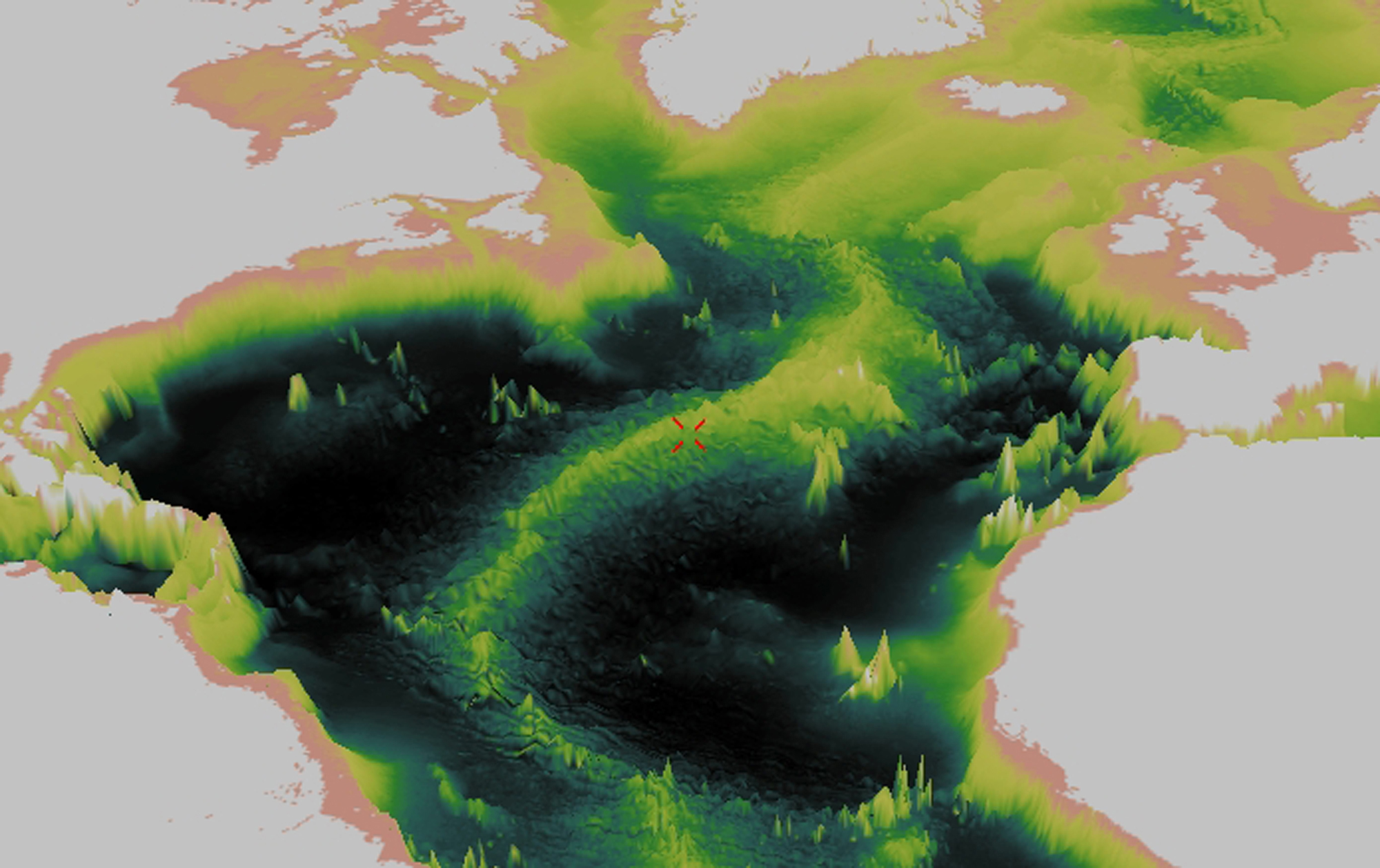
I have begun to learn the software Tim Le Bas, the scientist I am working with, uses to model bathymetric data. I start with a map of the world, reversing the usual blue /green coloring of land and sea and going on to reverse height and depth. At one point I transform the Himalayas into a void – even then its hard to conceive of the fact that if Challenger Deep was turned inside out it would tower a mile higher than Everest!
Circling above the globe it is possible to change your viewpoint at will, turning the world upside down in a second, its amazing though how, once the familiar, western centric viewpoint of the Americas, Europe and Africa is displaced, hard it is to orientate at all. Left to my own devices I manage to produce a set of strange exaggerated, psychedelic landscapes, which look like covers for a Yes album. These and other experiments can be seen on the Maps/Models page
A Kingdom of the Vertical
Posted Monday 5th January, 2009 at 5:10 pm by Rona Lee
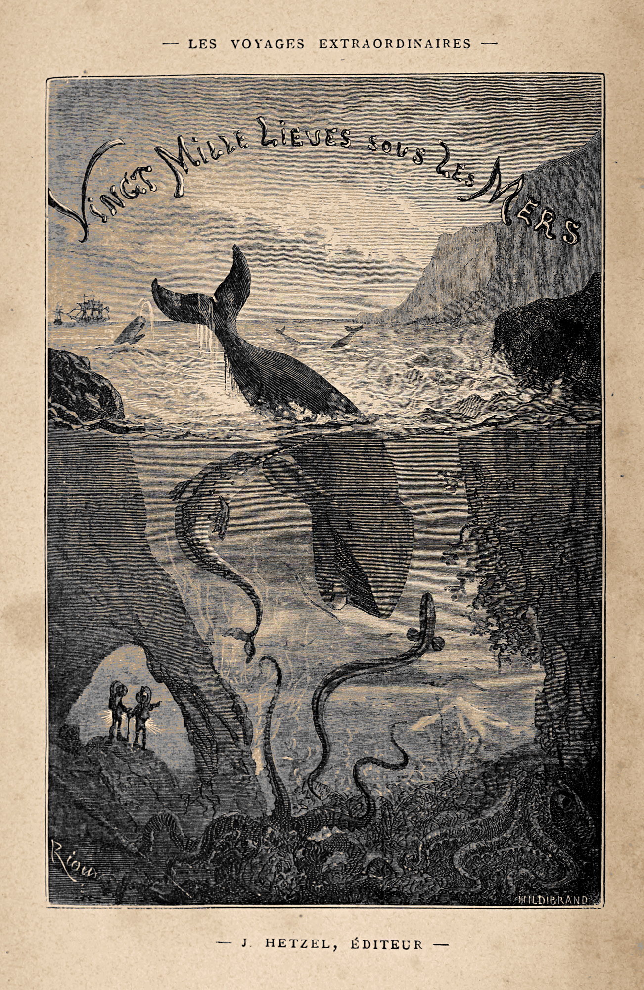
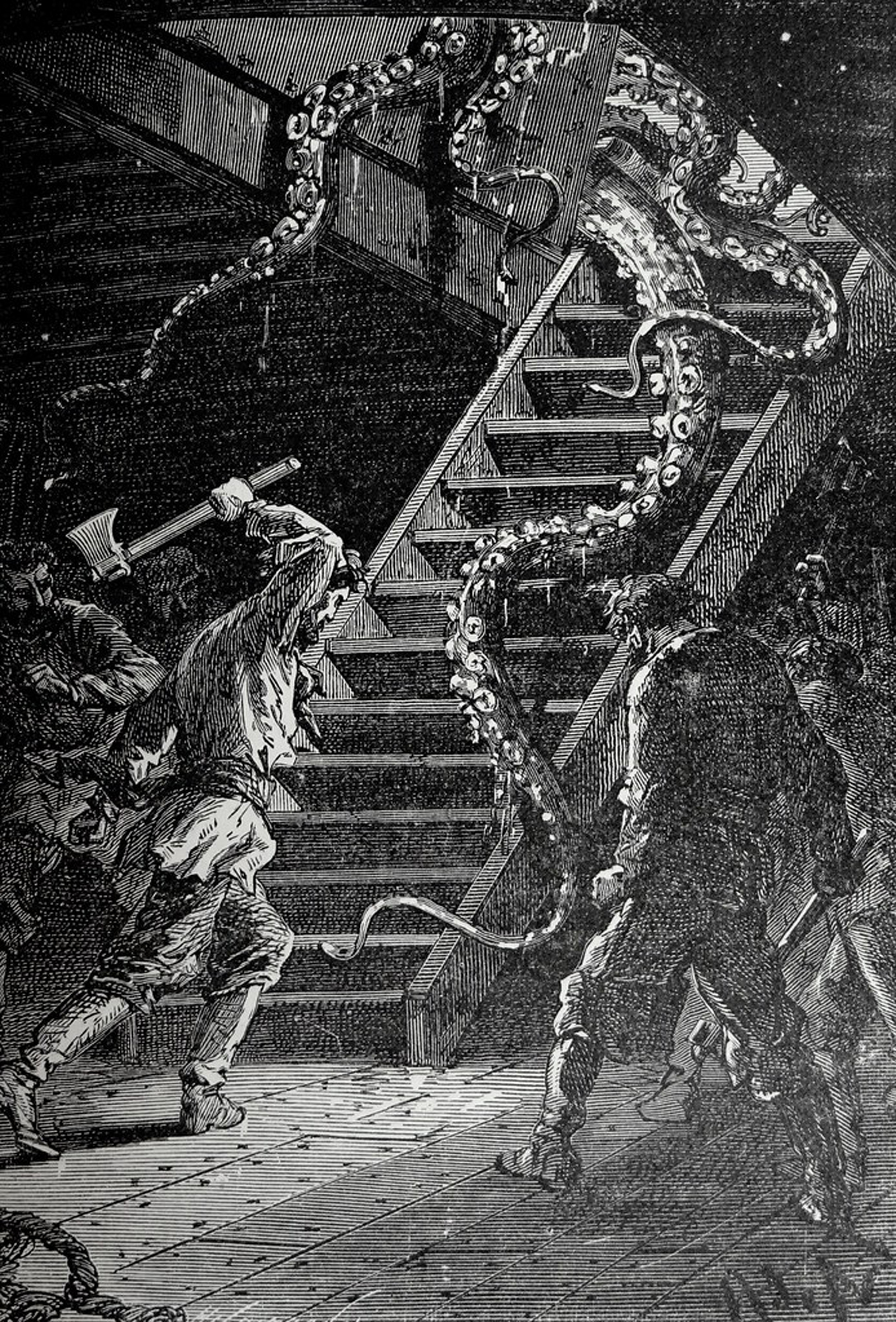
I am reading Jules Verne’s 20,000 Leagues under the Sea (1869) – a depth which incidentally far exceeds any that actually exists but refers, if translated correctly from the French – sea becomes seas, to the overall distance travelled by the Nautilus submarine.
In Chapters 16 and 17, A Stroll on the Ocean Bed and A Submarine Forest a hunt takes place on the seabed. Verne describes a number of phenomena: the passage of light and sound through water, the shooting of an albatross from underwater, the sensation of seeing ones own inverted reflection overhead, mimicking every move; the passage of waves from below; which conjure up a world in which the familiar is strangely displaced and distorted. In one section he echoes Bramley Murton’s observations about gravity, describing plants whose attachment to the seabed amounts to nothing more than the most tenuous of balancing points, the boughs of which grow uncompromisingly upright, un-impinged by the pull of either gravity or wind – ‘a kingdom of the vertical’
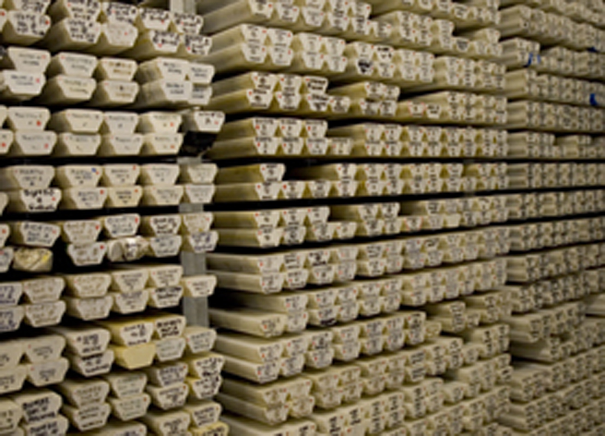
Cores
Posted Friday 19th December, 2008 at 7:17 pm by Rona Lee
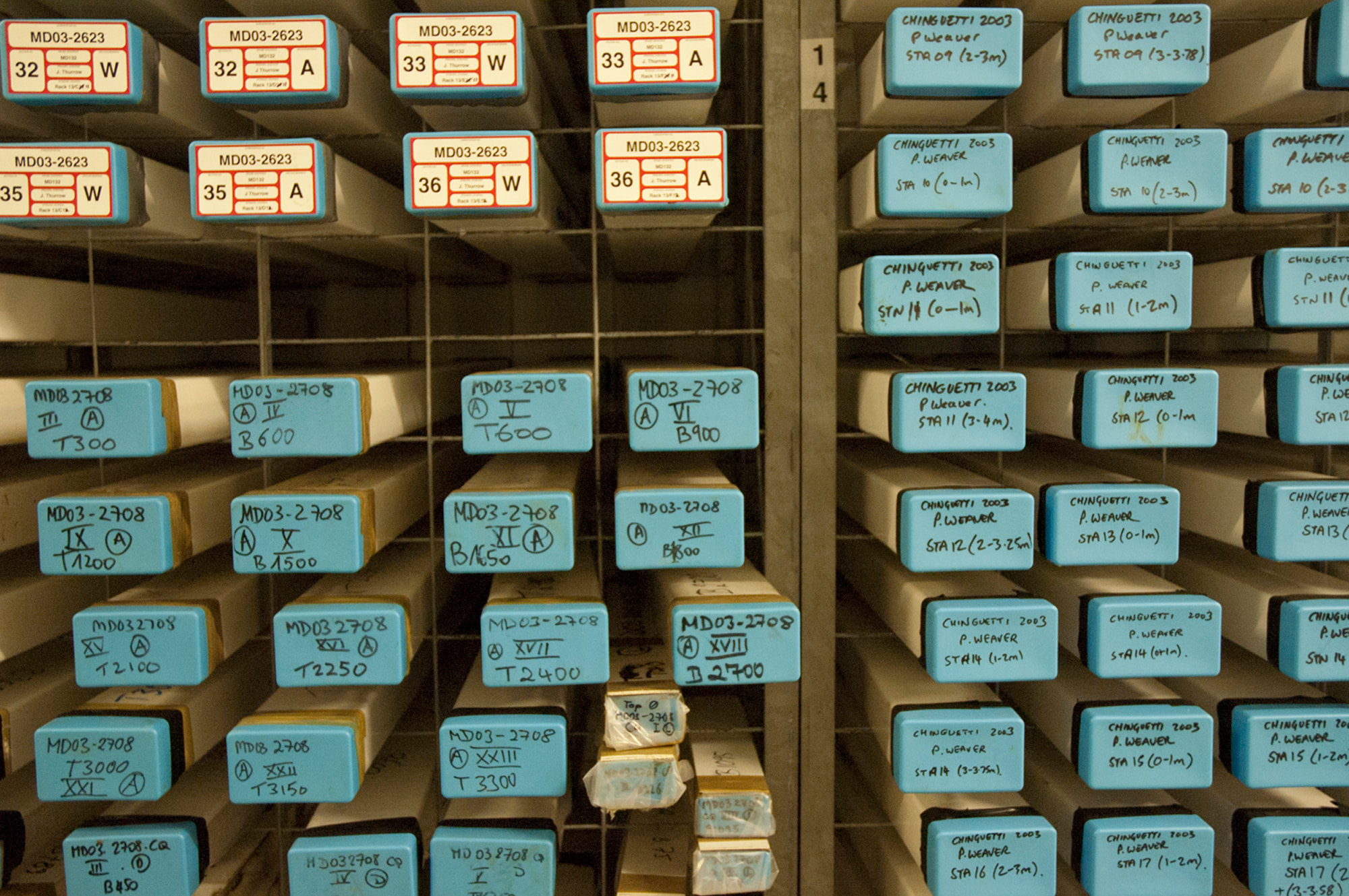
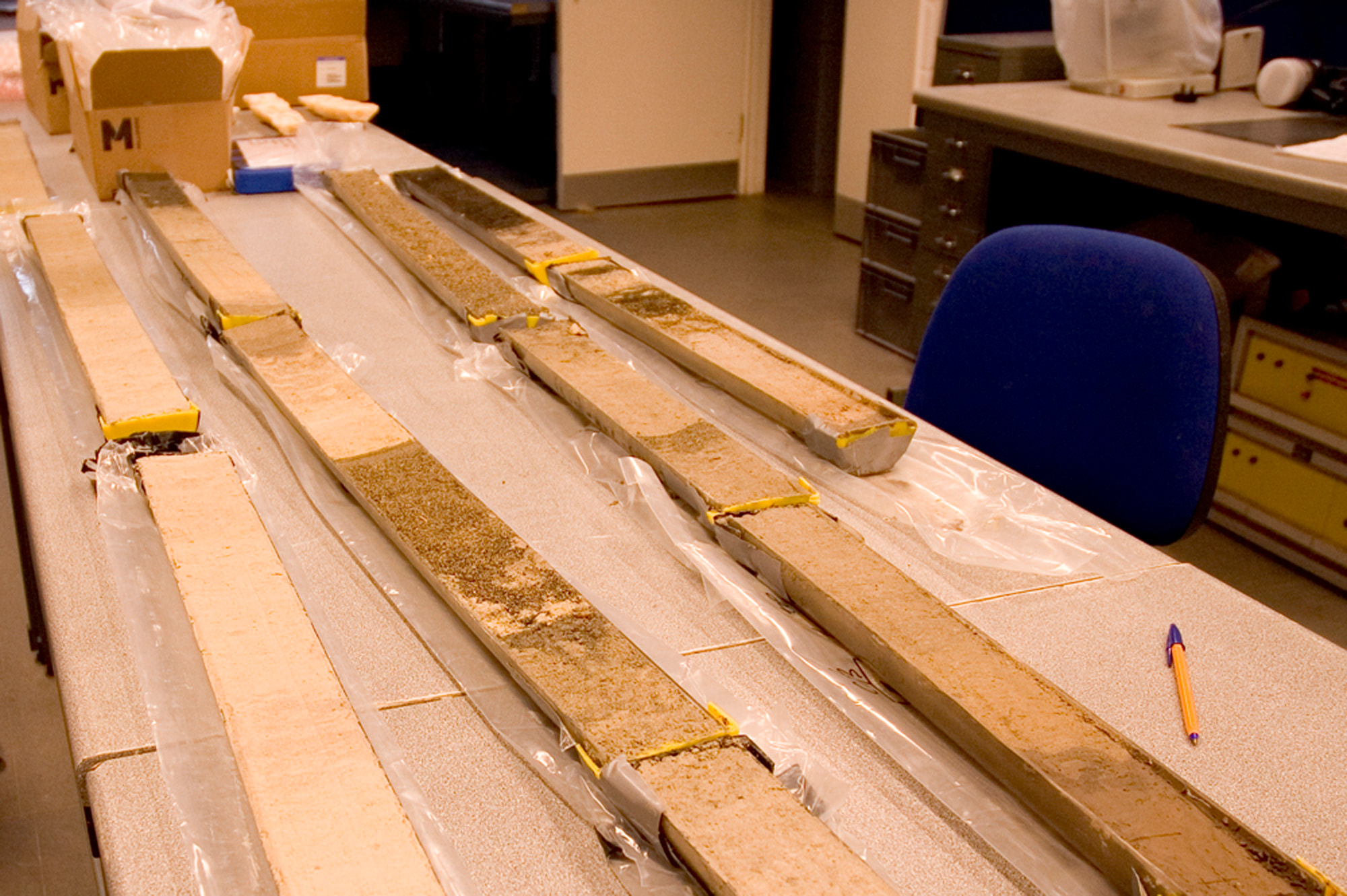
I spent part of today looking at sediment cores with Jess Trofimovs and Ben, a PhD student who is working on a project mapping the flow of volcanic eruptions from Montserrat and trying to determine a pattern to them. The core store is refrigerated at 4 degrees the average (I guess) temperature of the seabed. A sediment core is a tube of what looks like mud, made up of different kinds of detritus, the length and means of extraction of which depends on where it is taken from. Once in the lab it forms part of a kind of jigsaw puzzle which allows Jessica and Ben to identify periods of volcanic activity, as indicated by changes in colour and composition.
The age of some sections – more than 250,000.00 years – is difficult to grasp, as is the fact they have only been exposed to light and air so recently. The laborious nature of the work Ben must do in order to piece together this picture is also striking. Much like the PhD students I share an office with upstairs, who spend many painstaking hours separating grains of basalt from other matter under a microscope in order to prepare their samples, so Ben must carefully cut each core in half, photograph, log and test it in a variety of ways. The extent to which such basic, repetitive and simultaneously precise work, underpins even the most sophisticated scientific endeavour seems to offer a point of root connection with the role played by material and technical processes in artistic enquiry.
The core store itself is extraordinary, a material library that is both impressive and unsettling, it puts me in mind of 19th century collections of flora and fauna and while these drain-pipes full of sludge lack the glamour of either such earlier specimens or contemporary ice cores there, is still something deeply impactful about the journey they have made from the deep sea bed to a hanger in Southampton.
I have been thinking about the possiblity of working with the undersea locations that formed part of the Boyle Family’s – journey to the surface of the earth ‘random locations’ project.
In 1964 they invited members of the public to throw a dart into a map of the world, while blindfolded, thus generating a 1000 different locations, which became in turn the basis of the World Series, an ongoing project, which involves the making of a three-dimensional cast of an area of each site.
As far as I am aware they have yet to tackle those which resulted from darts that fell into the sea.
In one sense my interest in their work echoes the random basis of the original selection, offering a means to select undersea locations from the infinite number available. At the same time the concepts behind their enquiry resonate with my own interest in questions of objectivity, truth and knowledge.
“They attempt to present a slice of reality as they found it at the moment of selection. And yet, so much is left out. The world is not a fixed and permanent place. There are an infinite number of elements and factors that are constantly changing. No matter how good the recreation, it is still a recreation and only an approximation to reality. They know that it is impossible to tell the truth, the whole truth and nothing but the truth. But they try to isolate and reduce the elements to see if it is possible to tell the truth about anything.”
Tim continues teaching the 3D modelling software he uses. Today our source was a bathythemetic map of the world. While showing me various functions he pointed out that the programme had calculated that in approximate terms the mean height / depth – depending on how you view it – of the Earth’s surface is 1424 metres below sea level! A statistic which, for a moment, held us both rapt bringing home afresh the extent to which the sea, rather than earth, dominates the surface of the planet. The most common height above sea level is 85 metres and the least 3,3800 metres below.
At coffee break someone mentions Marie Tharp describing her as an ‘artist who drew sections of the seabed’. Further research uncovers a cartographer and geologist, working in the fifties – a time when women were not allowed onto research vessels, who with a pen, ruler and data collected by her colleague, oceanographer Bruce Heezen, plotted the Mid-Oceanic Ridge, a line of undersea mountains that run along the sea bed between Europe/Africa and the Americas. An undertaking that laid the foundations for theories of plate tectonics and continental drift which were controversial until well into the 1960’s.
‘She wondered whether the depression was evidence of a continuous rift – a crack in the world – down the middle of the ridge. And … in turn whether that rift might be evidence of what scientists now call seafloor spreading, popularly known as continental drift. She and Mr. Heezen argued about it. She threw erasers and bottles of ink at him. It took him some time to come around. “I discounted it as girl talk and didn’t believe it for a year”
Many of the tributes to Tharp, who died in 2006, emphasize her fiery nature and powerful intuition, observations which charecterise her achievements in a way that it is hard to imagine happening to a man, the later offering never the less a point of reference for my own less than rational approach.
Went to the British Library Map Room today to view Tharp’s Physiographic diagram of the South Atlantic Ocean, the Caribbean Sea, the Scotia Sea, and the eastern margin of the South Pacific Ocean. It is always a thrilling moment when you are handed a carefully packaged document, that may not have been viewed for many years, from the BL’s collections . Even so spreading the map out on the table was a revelation, what emerged, fold by fold, was a richly detailed drawing of the seabed which I spent a good hour pouring over, as much for the sensual and aesthetic experience of doing so, than anything else. The drawings of seamounts of which an estimated 30,000.00 cover the globe, resemble maps of Tolkein’s Middle earth.
I have discovered that a number of Tharp maps are held in different libraries throughout the UK, including the V and A and the Maritime Museum, suggesting the possibility of a Tharp pilgrimage to view all of them. NOCS have one of the North Atlantic, which I shall investigate on my next trip there.